Description
Transcription
Page header (top rule line):
- Centre: Catalogue of Investigated Archaeological Sites and Mining Places
- Right: 361
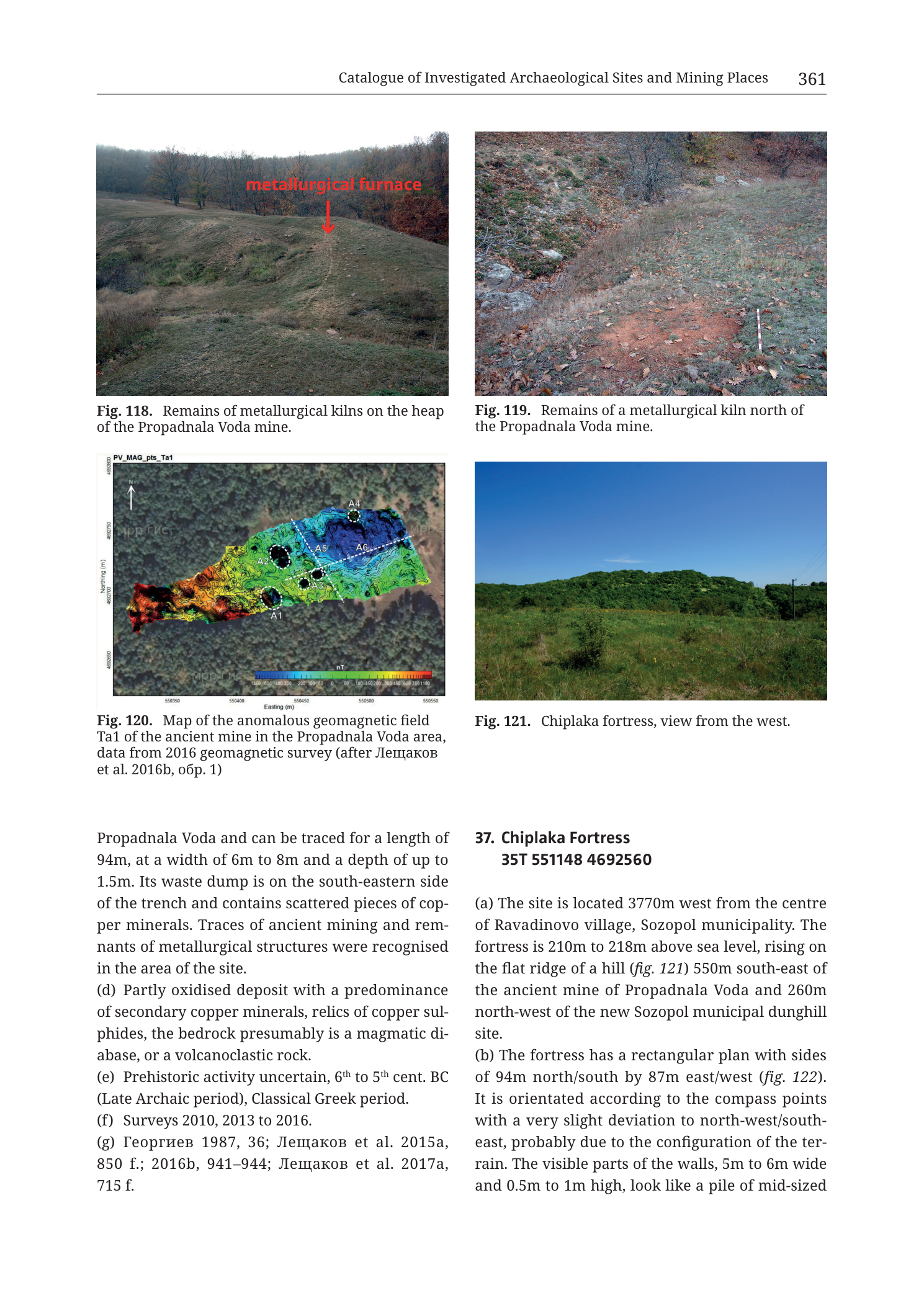
Fig. 118 (upper left) — landscape photograph
Caption (below figure): Fig. 118. Remains of metallurgical kilns on the heap of the Propadnala Voda mine.
On-photo annotation:
- Red text label: metallurgical furnace
- Red arrow pointing down onto a low mound / disturbed patch on the grassy ridge crest in the middle distance.
Photo content: rolling grass-and-scrub ridge under a pale sky; deciduous woodland on the right and background slopes; a pale track or erosion line climbs the near slope toward the labelled furnace locus. No scale bar, no coordinates.
Fig. 119 (upper right) — ground photograph
Caption (below figure): Fig. 119. Remains of a metallurgical kiln north of the Propadnala Voda mine.
Photo content: close view of a bare reddish-brown earth patch (burnt soil / kiln floor residue) set in short grass and leaf litter on a gentle slope; grey-brown scrub upslope in the background. A thin white vertical ranging pole / stake stands at the right edge of the reddish patch. No printed numeric scale; no on-photo text labels.
Fig. 120 (middle left) — geomagnetic anomaly map
Caption (below figure): Fig. 120. Map of the anomalous geomagnetic field Ta1 of the ancient mine in the Propadnala Voda area, data from 2016 geomagnetic survey (after Лещаков et al. 2016b, обр. 1)
Translation (citation): Leshtakov et al. 2016b, fig./obr. 1.
Internal map title (upper-left of plot frame): PV_MAG_pts_Ta1
North arrow: simple arrow labelled N in the upper-left of the plot (N up).
Axes:
- Horizontal axis title: Easting (m)
- Horizontal tick labels (west → east, as readable): 550350 | 550400 | 550450 | 550500 | 550550
- Vertical axis title: Northing (m)
- Vertical tick labels (south → north, as readable): 4692600 | 4692650 | 4692700 | 4692750 [50 m steps in the 46926xx–46927xx band]
Colour scale bar (bottom of map, under the survey polygon):
- Unit label: nT
- Numeric labels along the bar (left/negative → right/positive; approximate readable set): … −20 | −10 | −5 | 0 | 5 | 10 | 20 | 50 | 100 | 150 [dense labelled colour ramp from deep blue (strong negative) through cyan–green–yellow to red/white (strong positive)]
- Rainbow-style continuous ramp.
Map-face annotations:
- Survey coverage rendered as a filled colour polygon of anomalous magnetic field over a greyscale hillshade/airphoto basemap.
- White dashed circles with labels:
- A1 — southern central part of the surveyed strip
- A2 — north of A1, still in the western/central warm-colour zone
- A3 — [position in the central cluster; label present among A1–A6 set]
- A4 — northeastern end of the strip (cool blue zone)
- A5 — east-central
- A6 — eastern side of the strip
- White dashed straight line trending roughly WSW–ENE to SW–NE across the long axis of the survey polygon (approximate strike of the mined corridor / profile reference).
- Colour pattern: warm red–yellow–green magnetic highs dominate the western and central parts of the elongated survey area; cool blue magnetic lows dominate the northeastern tongue (around A4).
Faint basemap watermark-style text fragments (e.g. map-service credits) are partially visible under the colour overlay but are not catalogue content.
Fig. 121 (middle right) — landscape photograph
Caption (below figure): Fig. 121. Chiplaka fortress, view from the west.
Photo content: open grassy foreground with scattered low shrubs; a long, low, tree-covered ridge/hill forming the horizon under a clear deep-blue sky; a thin vertical pole/mast visible at the far right skyline. No scale bar, no overprinted labels. The wooded rise is the Chiplaka fortress hill seen from the west.
Body text — left column (completion of entry 36 Propadnala Voda)
[Continues the second-fissure sentence from the previous page:]
Propadnala Voda and can be traced for a length of 94m, at a width of 6m to 8m and a depth of up to 1.5m. Its waste dump is on the south-eastern side of the trench and contains scattered pieces of cop- per minerals. Traces of ancient mining and rem- nants of metallurgical structures were recognised in the area of the site. (d) Partly oxidised deposit with a predominance of secondary copper minerals, relics of copper sul- phides, the bedrock presumably is a magmatic di- abase, or a volcanoclastic rock. (e) Prehistoric activity uncertain, 6th to 5th cent. BC (Late Archaic period), Classical Greek period. (f) Surveys 2010, 2013 to 2016. (g) Георгиев 1987, 36; Лещаков et al. 2015a, 850 f.; 2016b, 941–944; Лещаков et al. 2017a, 715 f.
Translation (Cyrillic authors in (g)): Georgiev 1987, 36; Leshtakov et al. 2015a, 850 f.; 2016b, 941–944; Leshtakov et al. 2017a, 715 f.
Body text — right column (start of entry 37)
37. Chiplaka Fortress 35T 551148 4692560
(a) The site is located 3770m west from the centre of Ravadinovo village, Sozopol municipality. The fortress is 210m to 218m above sea level, rising on the flat ridge of a hill (fig. 121) 550m south-east of the ancient mine of Propadnala Voda and 260m north-west of the new Sozopol municipal dunghill site. (b) The fortress has a rectangular plan with sides of 94m north/south by 87m east/west (fig. 122). It is orientated according to the compass points with a very slight deviation to north-west/south- east, probably due to the configuration of the ter- rain. The visible parts of the walls, 5m to 6m wide and 0.5m to 1m high, look like a pile of mid-sized
[Page ends; entry 37 continues on the following page. Fig. 122 cited for the fortress plan is not on this page.]
No separate stratigraphic column; no table. Fig. 120 carries its own nT colour scale as transcribed above.
Description
TYPE & PURPOSE
Mixed catalogue plate from Krauss et al. (2020) that:
- Closes entry 36. Mine and Metallurgical Site Propadnala Voda with kiln photographs (Figs. 118–119), a 2016 geomagnetic anomaly map of the mine area (Fig. 120), and catalogue fields completing the second fissure plus (d)–(g).
- Opens entry 37. Chiplaka Fortress with a west-view photograph (Fig. 121) and fields (a)–(b) started.
The PNG filename foregrounds the Chiplaka entry number and the geomagnetic map / kilns — i.e. the geophysical and pyrotechnical evidence cluster that bridges the Propadnala Voda mine to the neighbouring Chiplaka fort.
OVERALL PAGE LAYOUT
- Portrait page; running head “Catalogue of Investigated Archaeological Sites and Mining Places”; page 361 at right.
- Upper two-thirds: 2×2 figure grid (118 | 119 / 120 | 121).
- Lower third: two-column text (end of 36 at left; start of 37 at right).
- No footer beyond page end.
Fig. 118 — Metallurgical kilns on the Propadnala Voda mine heap
Type & purpose
Oblique landscape photograph locating metallurgical kiln/furnace remains on the mine’s waste heap in their topographic setting.
View & content
- Viewpoint: from a lower grassy slope looking up toward a rounded ridge crest.
- Mid-ground crest carries a subtle mound/disturbed vegetation patch marked by the red label “metallurgical furnace” and a downward red arrow.
- Setting is open pasture/scrub on the heap and near slopes, with deciduous woodland closing the right and far background — matches the deforested rocky mine zone described in entry 36 (a) fringed by forest (cf. aerial fig. 113 on the prior plate).
- A pale linear track or wash climbs toward the labelled locus, giving ground access across the heap.
- No ranging pole; scale is landscape (tens of metres from camera to crest).
Archaeological reading
- One of the three burnt-clay smelting-furnace patches cited in entry 36 (c) (“over the heap and along the gully edge”; figs. 118–120). The photo gives surface expression: a low, inconspicuous mound rather than a standing installation.
Fig. 119 — Metallurgical kiln north of Propadnala Voda mine
Type & purpose
Close-range ground photograph of a single metallurgical kiln residue locus north of the main mine.
View & content
- A roughly oval to irregular reddish burnt-earth patch (fired soil, possibly with fine burnt-clay debris) exposed among pale dry grass and brown leaf litter.
- Upslope background: leafless grey scrub and bare earth on a gentle hillside (late-autumn/winter vegetation state).
- White ranging pole/stake at the right margin of the red patch provides a rough scale (patch on the order of one to a few metres across — compatible with the “up to 2 m²” oval burnt-clay areas of entry 36 (c), though this particular photo is captioned as north of the mine rather than on the heap).
- No on-photo text beyond the caption.
Relationship to Fig. 118
- Fig. 118 = kilns on the heap (wider context); Fig. 119 = a kiln remain north of the mine (closer fabric/soil detail). Together they document the spatial scatter of pyrotechnical installations around the extraction zone.
Fig. 120 — Anomalous geomagnetic field Ta1, Propadnala Voda mine area
Type & purpose
Colour-mapped geomagnetic anomaly survey (total-field anomaly Ta1) over part of the ancient Propadnala Voda mine, from the 2016 survey, after Leshtakov et al. 2016b, obr. 1. Purpose: locate strongly magnetic targets (fired structures, slag concentrations, thermo-remanent kiln remains, and/or magnetic mineral enrichment) along the mined corridor.
Frame, extent, orientation
- Rectangular plot, north up (N arrow upper-left).
- Easting roughly 550350–550550 m (labelled ticks every 50 m in that band).
- Northing roughly 4692600–4692750 m (labelled ticks every 50 m).
- Survey coverage is not a full rectangle: an elongated irregular polygon runs roughly SW–NE to W–E across the frame, underlain by a greyscale terrain/image basemap outside and beneath the colour field.
Scale & coordinates
- Metric UTM easting/northing axes (zone 35T by catalogue convention).
- No separate graphical scale bar; 50 m axis ticks provide scale.
- Colour bar in nT (nanotesla) from strong negative (blue) to strong positive (red/white).
Anomaly pattern
- Western–central sector: warm colours (yellow–orange–red) = positive magnetic anomalies. Several discrete local highs are ringed as A1, A2, A3 (and related central markers) — prime candidates for the burnt kiln/furnace remains and slag-rich dumps described in the text.
- Northeastern tongue: cool colours (green–cyan–blue) = negative anomalies, with A4 at the NE end and A5–A6 along the eastern side of the strip.
- A white dashed long-axis line traces the strike of the surveyed corridor, aligning with the linear NE–SW mine geometry established on the previous page (ca. 470 m main working; this geomagnetic panel covers a shorter local segment of that system / its metallurgical fringe).
Labelled targets A1–A6
- Six dashed circular callouts (A1–A6) mark discrete anomalous foci along the strip. The figure does not print a verbal key for each An, but in context of figs. 118–119 and entry 36 (c) they represent interpreted geomagnetic responses of metallurgical structures and related magnetic debris. A1 lies toward the south-central edge of the colour field; A4 toward the NE tip; A2/A3/A5/A6 intermediate along the axis.
Spatial relationship to site centroid
- Site-36 centroid 35T 550460 4692717 falls inside the easting 550350–550550 and northing 4692600–4692750 window → consistent (see Consistency Check).
- Chiplaka fortress centroid 35T 551148 4692560 lies east and slightly south of this panel (outside the frame), matching text placing Chiplaka 550 m SE of Propadnala Voda.
Colour & symbol system
- Diverging blue–green–yellow–red ramp encodes signed magnetic anomaly (nT).
- White dashed circles = labelled local targets; white dashed line = axial reference.
- Greyscale basemap = terrain context only.
Fig. 121 — Chiplaka fortress, view from the west
Type & purpose
West-looking landscape photograph introducing catalogue entry 37, showing the fortress hill’s external massing.
View & content
- Foreground: rough pasture with mixed green and dry grasses and scattered low bushes.
- Middle/far ground: a long, low, densely wooded ridge filling the horizon — the flat-topped hill whose crest carries the Chiplaka fortress (text: 210–218 m a.s.l. on the flat ridge of a hill).
- Sky clear deep blue; a thin vertical mast/pole breaks the right skyline.
- No walls are resolved through the tree cover at this distance; the photo is a location/setting view, not an architectural elevation.
- Scale: hundreds of metres from camera to crest.
Catalogue text — Entry 36 completed (Propadnala Voda)
Second fissure (sentence completion from previous page):
- Follows the main vein of Propadnala Voda.
- Length 94 m, width 6–8 m, depth up to 1.5 m.
- Waste dump on the south-eastern side of the trench, with scattered pieces of copper minerals.
- Traces of ancient mining and remnants of metallurgical structures recognised in the site area.
(d) Deposit / geology:
- Partly oxidised deposit.
- Predominance of secondary copper minerals; relics of copper sulphides.
- Bedrock presumably magmatic diabase or a volcanoclastic rock.
(e) Chronology:
- Prehistoric activity uncertain.
- 6th–5th cent. BC (Late Archaic period).
- Classical Greek period.
(f) Research history: Surveys 2010, 2013 to 2016.
(g) Bibliography: Георгиев 1987, 36; Лещаков et al. 2015a, 850 f.; 2016b, 941–944; Лещаков et al. 2017a, 715 f.
Entry 36 is now complete across the multi-page spread (header/centroid/a–c on prior pages; d–g and second-fissure metrics here).
Catalogue text — Entry 37 started (Chiplaka Fortress)
- Header: 37. Chiplaka Fortress
- Centroid: 35T 551148 4692560
- (a) Location / setting:
- 3770 m west of Ravadinovo village centre, Sozopol municipality.
- Elevation 210–218 m a.s.l.
- On the flat ridge of a hill (fig. 121).
- 550 m south-east of ancient mine Propadnala Voda.
- 260 m north-west of the new Sozopol municipal dunghill site.
- (b) Plan / walls (started):
- Rectangular plan 94 m N–S by 87 m E–W (fig. 122 — not on this page).
- Oriented to the compass points with a very slight NW–SE deviation, probably from terrain configuration.
- Visible wall parts: 5–6 m wide, 0.5–1 m high, appearing as a pile of mid-sized … [continues next page].
Consistency Check — Fig. 120 / Site 36
- Centroid (entry 36): 35T 550460 4692717
- Map bounds (labelled ticks): Easting [~550350–550550], Northing [~4692600–4692750]
- Easting: 550350 ≤ 550460 ≤ 550550 → PASS
- Northing: 4692600 ≤ 4692717 ≤ 4692750 → PASS
- Result: PASS
Consistency Check — Site 37 centroid (no grid map on this page)
- Centroid: 35T 551148 4692560
- Fig. 121 is an ungridded photograph; fig. 122 (plan) is absent.
- Sanity range UTM 35T SE Bulgaria: Easting 551148 ∈ ~530000–560000; Northing 4692560 ∈ ~4600000–4700000 → PASS (range only).
- Distance check vs site 36 (550460, 4692717): ΔE ≈ +688 m, ΔN ≈ −157 m → ground distance ≈ 706 m at bearing roughly ESE — catalogue states 550 m SE. Order-of-magnitude agreement; residual may reflect centroid-to-mine-body vs centroid-to-fortress-centroid differences. Result: N/A (no map) with a mild distance-wording flag (550 m vs ~700 m centroid-to-centroid).
SPATIAL RELATIONSHIPS (page-level)
- Propadnala Voda (36) — main NE–SW linear mine plus second 94 × 6–8 m fissure with SE waste dump; partly oxidised copper deposit in diabase/volcanoclastic host; Late Archaic–Classical activity; kiln remains on the heap (fig. 118), north of the mine (fig. 119), and as geomagnetic targets A1–A6 (fig. 120).
- Chiplaka Fortress (37) — rectangular ~94 × 87 m fort on a flat hill ridge at 210–218 m, 550 m SE of the mine (text), overlooking the same Medni Rid SE sector; walls reduced to low mid-sized stone piles 5–6 m wide.
- Functional landscape: extraction + on-site/near-site smelting at Propadnala Voda, with a fortified point (Chiplaka) on the next ridge SE — a mine–fort pairing analogous to Karakachanski Kolibi smelting + Oshilenoto Bairche fort on the west slope (earlier plates).
RELATIONSHIP TO OTHER FIGURES
- Figs. 118–120 complete the fig. 118–120 citation in entry 36 (c) for smelting-furnace remains.
- Fig. 120 source: Лещаков et al. 2016b, обр. 1 (companion to the ERT обр. 3 reproduced as fig. 116 on the previous page).
- Fig. 121 ← entry 37 (a); Fig. 122 (cited, not shown) ← entry 37 rectangular plan.
- Prior Propadnala Voda figures: 113–117 on previous pages; geological symbol on Tzankova (2023) Fig. 1.
Notes
- Printed page header reads 361; PNG filename uses p363. Same off-by-two filename-vs-print offset. page_hint follows the print.
- Filename emphasises Chiplaka + geomagnetic map + kilns; three of four figures and the left text column still belong to Propadnala Voda (36). Chiplaka’s own plan (fig. 122) is not on this page.
- Fig. 120 nT scale numeric labels are dense; the transcribed set covers the clearly readable ticks. Exact end-member values may include additional labels at the extreme ends of the bar beyond those listed.
- A3 is part of the A1–A6 set; its exact pixel position is in the central cluster — all six are present as dashed circles even if one label is partially against the colour field.
- Centroid-to-centroid distance Chiplaka–Propadnala Voda (~700 m) vs catalogue “550 m SE” is noted; body-text 550 m may refer to fort-to-mine-edge rather than published centroids. Prefer body-text distance wording for site description; centroids remain as printed.
- Entry 37 incomplete at page end (mid-sentence in b).